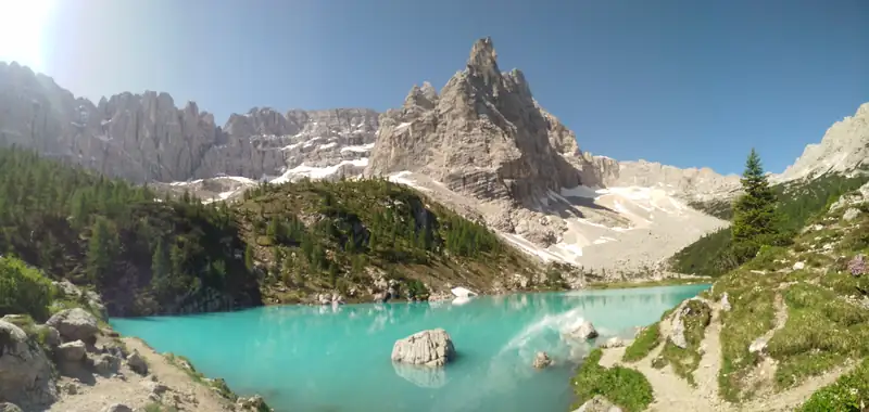
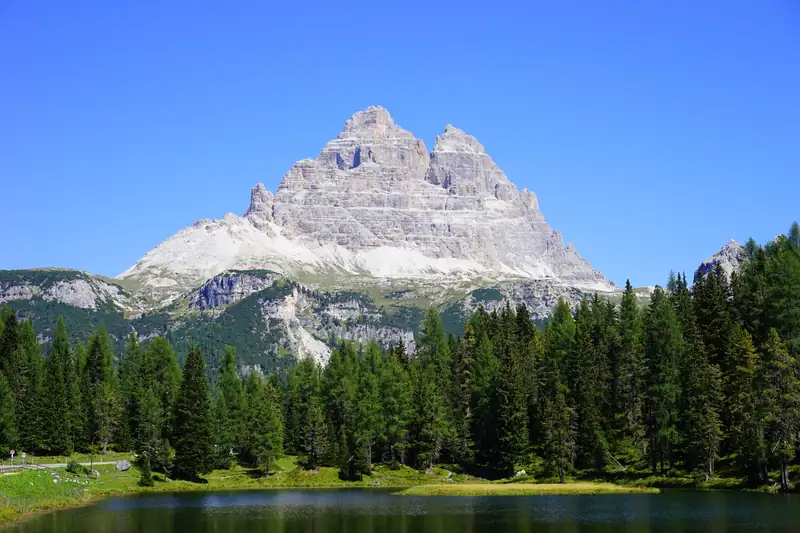
Lake Sorapis (Lago di Sorapis) is a turquoise lake at about 1,925 m under the Sorapiss, reached only on foot. The usual route is trail 215 from Passo Tre Croci, 6 km from Lake Misurina: 10.5 km return, about 4 hours, with metal ladders and exposed ledges fitted with cables. Rifugio Vandelli sits beside the lake.
Lake Sorapis is a small milky-turquoise lake at about 1,925 m in the Sorapiss group, the big mountain that stands over the south shore of Lake Misurina. No road reaches it. You walk in, and most people take trail 215 from Passo Tre Croci, the pass between Cortina and Misurina.
It is a good hike with one real catch. The middle of the trail runs along an exposed ledge with metal ladders and fixed cables, and that section decides whether this route is for you.
Lake Sorapis hike at a glance
| Route |
Start |
Distance |
Time |
Climbing |
Exposed? |
| Trail 215 (standard) |
Passo Tre Croci |
10.5 km return |
About 4 h return |
About 430 m total |
Yes, ladders and cables |
| Trail 213 then 215 |
Passo Tre Croci |
Loop |
About 5 h |
About 650 m to the lake |
Yes, narrow ledges |
| Trail 217 |
Former Albergo Cristallo, Val d’Ansiei |
Out and back |
2 to 3 h each way |
About 600 to 690 m |
No |
Distances and times for trail 215 are from Cortina’s tourism board. The variants come from dolomiti.it and a 2026 Tre Croci walking guide. Sources disagree on the one-way distance for 215 (PlanetMountain gives 5.2 km, other guides about 6 km), so treat 10.5 km as a round figure.
The trail 215 route
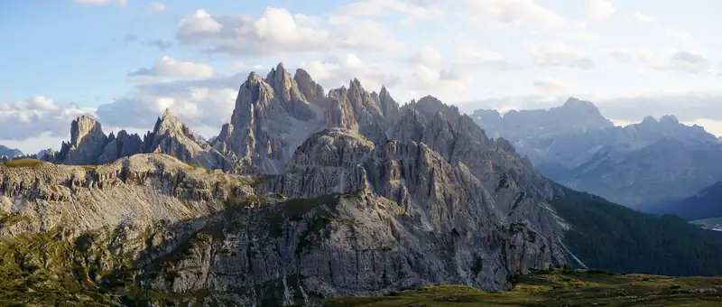
You leave the car or bus at Passo Tre Croci, at about 1,800 m, and follow signs for trail 215 into the forest. The first part is wide and close to level, and through the trees you get views back to the Cristallo, Piz Popena, the Cadini di Misurina and the Tre Cime.
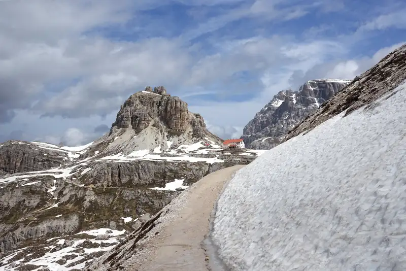
Then the path changes. It runs along a flat ledge with steel cables to hold and a drop below, and metal ladders take you over the rock steps. It is exposed, and the risk of slipping goes up when the rock is wet or the path is crowded.
After the ledge a more gradual stretch leads to Rifugio Vandelli at 1,926 m. The lake is a few minutes beyond the hut, over a short hill. There are no facilities at the lake itself.
Come back the same way. The route is not a loop unless you choose the harder variant below.
How hard is the Lake Sorapis hike?
Sources disagree. Cortina’s tourism board rates the route For Experts. Magicoveneto grades it E, the Italian Alpine Club (CAI) grade for an ordinary hike, with a short exposed and equipped stretch. dolomiti.it calls it medium-easy. PlanetMountain says it is not suitable for anyone who suffers from vertigo.
Our reading: the walking is moderate, about 430 m of total climbing over 10.5 km. The exposure is the hard part. Skip trail 215 if:
- you or anyone in the group gets dizzy on drops;
- you are carrying a small child or bringing a nervous dog;
- the rock is wet or icy.
Fit walkers who are fine with heights will find it a steady half day.
Other routes to the lake
Trail 217 from Val d’Ansiei. This starts at the former Albergo Cristallo, at 1,368 m, on the road from Misurina down toward Auronzo. dolomiti.it describes it as a steep, steady climb through forest, about 600 to 690 m up and 2 to 3 hours each way, with no exposed or cabled sections. It is more work for your legs and much easier on your nerves.
Trail 213 via Forcella Marcoira. This climbs to a 2,307 m saddle before dropping to the lake: about 650 m of climbing and 3.5 hours one way, medium-hard, quieter and with wider views. Going up 213 and back on 215 makes a loop of about 5 hours. It has narrow ledges of its own, so it is not the answer to vertigo.
Getting to Passo Tre Croci
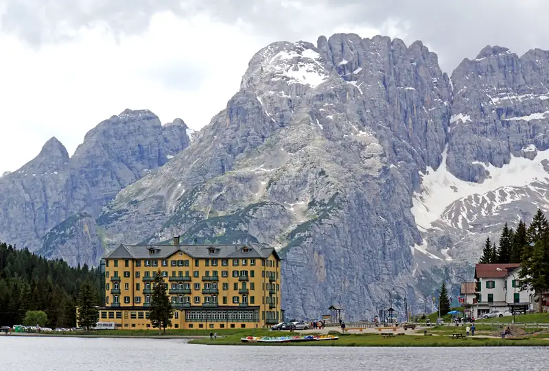
From Lake Misurina the pass is about 6 km by road, under 10 minutes’ drive toward Cortina. From Cortina it is the same road in the other direction; if you are based there, see things to do in Cortina d’Ampezzo.
Parking at the pass is limited and fills quickly in July and August. Get there early, or take the bus. Cortina’s tourism board says to ride a Dolomiti Bus toward Misurina and the Tre Cime and get off at Passo Tre Croci. In 2026 Dolomitibus ran line 51 between Cortina and Misurina in high season only, with no direct Cortina service from 30 May to 7 June and from 10 September to 4 October. Check the stop and times on dolomitibus.it before you rely on it.
From a base at Misurina, the start is minutes away. The how to get to Lake Misurina guide covers the buses from Cortina and Auronzo.
Rifugio Vandelli
Rifugio Vandelli stands at 1,926 m in the northern cirque of the Sorapiss, a few minutes from the lake. It has one four-bed room and five dormitories with 32 beds, serves meals and takes cards (+39 0435 39015). It was built in 1891, destroyed by an avalanche in 1895 and was rebuilt the next year. It opens in summer only, roughly mid-June to mid-September in past seasons; check rifugiovandelli.it for the current dates.
Bring water. In July 2026 the hut’s springs dried up in the heat, and it could not offer toilets or refill bottles while a helicopter flew in tanks every two or three days, the local paper Il Dolomiti reported.
The lake in 2026: low water and rules
Lake Sorapis is shallow, about 3.5 m at its deepest. By 21 July 2026 it had dropped about 2 m after a winter with little snow, according to Il Nordest, a fall that usually comes only in September. Expect a smaller lake late in a dry summer.
Rules at the lake are simple: no swimming, no wild camping, take your rubbish home. Paddleboards are not allowed either. There was no booking system or visitor cap in 2026, though hut managers have asked for one.
When to hike to Lake Sorapis
Late June to September is the season, when the trail is clear of snow and the water is at its brightest. In July and August, dolomiti.it advises starting early, especially on trail 215, to beat the crowds. Autumn is quieter, with lower water. In winter the cabled sections are icy and dangerous, and dolomiti.it advises against going without snow experience, crampons, snowshoes and an avalanche transceiver.
The best time to visit the Dolomites guide goes through the months in more detail.
Sorapis and the Misurina legend
The mountain and the lake share a story with Lake Misurina. In the best-known version, King Sorapiss turns himself into a mountain so his spoiled daughter Misurina can have a magic mirror, and his tears form the lake at Misurina. In another telling, quoted in Gillian Price’s Cicerone walking guide, it is Misurina’s tears that fill Lago di Sorapis at the foot of the mountain. Read the full tale and its versions in the legend of Misurina.
Other hikes from the same area
Sorapis pairs well with the hikes on the other side of Misurina. The Tre Cime loop is about 10 km from Rifugio Auronzo, and the Cadini di Misurina viewpoint is a short walk from the same car park. The only Sorapis tour we found on GetYourGuide was an expensive private trip from Venice, so the guided hikes below go elsewhere around Misurina and Cortina. Our tours page lists everything we checked. For a wider list, see the best hikes in the Dolomites, and for nearby lakes, the Dolomites lakes guide.