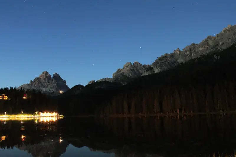
The Tre Cime di Lavaredo loop is a walk of about 9.5 km and 400 m of climbing around three peaks, taking most people 3 to 4 hours. It starts at Rifugio Auronzo, at the top of a booked toll road from Misurina. You can also go up by shuttle bus or on foot from Lago d'Antorno.
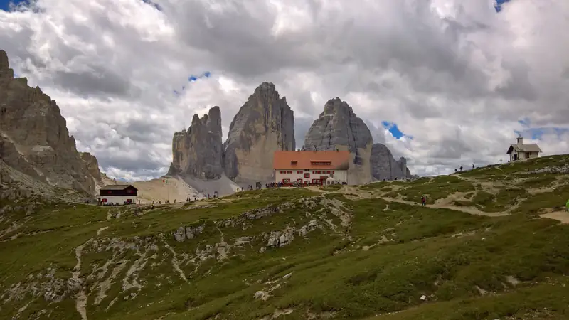
The Tre Cime di Lavaredo are three rock towers on the old border between Italy and Austria-Hungary: Cima Grande at 2,999 m, Cima Ovest at 2,973 m and Cima Piccola at 2,857 m. The loop around them starts at the top of the Tre Cime toll road, which climbs from just north of Lake Misurina.
The walk itself is not hard. Getting to the start is where people come unstuck, because the road up is a booked toll road and the buses queue in July and August. This guide covers both.
Getting from Misurina to the trailhead
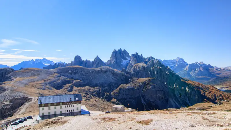
The loop starts at Rifugio Auronzo (2,320 m; some sources give 2,333 m), a hut with a large car park at the end of a toll road that begins just past Lago d’Antorno. You have three ways up from Misurina.
Drive the toll road. Since 2025 you must book a time slot online before you go. In 2026 a car cost €40 and the ticket was valid for 12 hours from your booked entry time (checked October 2026). Our Rifugio Auronzo guide covers prices, the booking rules and what happens if you overstay.
Take the shuttle bus. Dolomitibus runs a daily summer shuttle from the Genzianella stop in Misurina, via Lago d’Antorno, to Rifugio Auronzo. A day ticket was €10 in 2026. You cannot pay cash on board, so buy from the machine at Misurina, in the app, or tap a contactless card on the bus. The official Auronzo tourism site warns of long queues at Misurina in July and August.
Walk. Trail 101 leaves near Lago d’Antorno, branches off before the toll booth and climbs to Rifugio Auronzo in about 1 hour 45 minutes, gaining roughly 470 m. It is the free option, and it turns the day into a proper mountain outing of 7 hours or more.
Lake Antorno on the way up
Whichever way you go, you pass Lago d’Antorno, a small lake at 1,866 m about 2 km north of Lake Misurina (one source gives 1,869 m). From its shore the Tre Cime stand above the forest, and on a still morning they reflect in the water. That reflection shot is taken at Antorno, not at Misurina. The shuttle stops there, and an easy path goes round the lake. If you drive, it is worth ten minutes on the way down, when the light is lower.
The loop, step by step
Most descriptions walk it anticlockwise, which is how the times below run. Stage times are Wikivoyage’s estimates for an average hiker.
- Rifugio Auronzo to Rifugio Lavaredo (about 35 minutes). Trail 101 heads east under the south faces and is almost level, with only about 20 m of height change. You pass the small Cappella degli Alpini, a chapel by the path. Rifugio Lavaredo (2,344 m) is a summer-only hut.
- Rifugio Lavaredo to Forcella Lavaredo (about 25 minutes). The one real climb, roughly 110 m up to the saddle at 2,454 m. This is the high point of the loop. At the top the north faces appear all at once, and this is the view on most postcards.
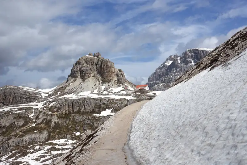
- Forcella Lavaredo to Rifugio Locatelli (about 45 minutes). On to Rifugio Antonio Locatelli, also called the Dreizinnenhütte because it sits on the South Tyrol side. It stands at 2,405 m, the figure its owner, CAI Padova, uses; the local tourism listing gives 2,438 m. It is the obvious place for lunch.
- Rifugio Locatelli to Malga Langalm (about 1 hour 15 minutes). The longest stage, below the north faces, to the Langalm hut (Malga dei Pastori).
- Malga Langalm back to Rifugio Auronzo (about 40 minutes). Trail 105 brings you round the west side of the peaks to the car park.
That adds up to about 3 hours 40 minutes of walking. dolomiti.it gives the whole loop as 9.5 km and about 3 hours with 400 m of climbing; Wikivoyage says 9.5 km, 405 m up and about 4 hours. Plan on 3 to 4 hours and add your stops.
If time is short, walking out to Forcella Lavaredo and back gives you the north faces in about two hours return, on the easiest part of the route.
How hard is it?
The loop is graded E (escursionistico), the Italian Alpine Club grade for an ordinary waymarked hiking path. No climbing skills are needed, but it is still a walk in high mountains.
Three things catch people out:
- Altitude. The whole walk stays above 2,000 m and tops out at 2,454 m. You will feel the climb to Forcella Lavaredo more than its 110 m suggests.
- Weather. Storms build quickly on summer afternoons. Wikivoyage recommends boots, a windproof jacket, sun cream and water, and checking the forecast before you set off.
- Snow. In June, old snow can lie across the path on the north side, and it can return in October. Early and late in the season, ask at the hut before you commit.
The mountain rescue number in the Veneto is 118.
The refuges
Three huts sit on the loop, and they are a large part of its appeal:
The refuges generally open from June to September, and Locatelli roughly from late June to late September. We have not confirmed 2027 opening dates, so check before you rely on one for lunch or a bed. Each hut has its own page with more detail.
When to go
The toll road usually opens in late May and closes in late October, depending on snow. Within that window, Wikivoyage recommends June and September to October and advises avoiding high summer because of the crowds. In July 2026 Italian travel site SiViaggia reported heavy foreign bookings and bus queues at Misurina.
Early starts help in any month. The first shuttle leaves Misurina at 7:30, and the car park slots for July and August weekends go early. Our guide to the best time to visit the Dolomites compares the seasons in more detail.
In winter the toll road is closed. Snowshoe and snowmobile routes run from the Misurina side towards Lago d’Antorno and the Tre Cime, but winter mountain travel is outside the scope of this page.
A bit of history
The peaks were on the border between Italy and Austria-Hungary until 1919, and the First World War front line ran across them. The fighting on nearby Monte Piana, above Misurina, left trenches and tunnels that you can still walk through, and our page on the legend and history of Lake Misurina tells the wider story.
Today the boundary between the Veneto and South Tyrol still runs through the group. That is why the north side has German names and sits inside the Tre Cime Nature Park, while Rifugio Auronzo and the toll road belong to Auronzo di Cadore.
Combine it with the Cadini viewpoint
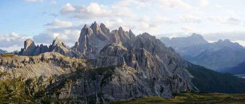
The Cadini di Misurina viewpoint starts from the same car park. It is about 30 to 35 minutes each way on trail 117, heading the other way from the Tre Cime path. With a 12-hour parking ticket you have time for both in one day.
Tours
If you would rather not deal with booking the road, two small-group tours on GetYourGuide start in Misurina and include the toll: the Tour of the Tre Cime di Lavaredo (5 hours, the 10 km loop) and a 6-hour scenic tour that meets at the Misurina car park. A private option pairs a shorter Tre Cime walk with Lake Braies. From Venice, several day trips stop at Lake Misurina and a Tre Cime viewpoint, but they do not walk the loop. The full list is on our tours page.