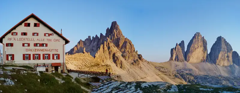
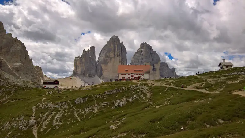
Rifugio Locatelli, called Dreizinnenhütte in German, is a CAI hut at 2,405 m facing the north faces of the Tre Cime di Lavaredo. From Lake Misurina, drive or take the shuttle to Rifugio Auronzo, then walk about 1.5 hours on trail 101 over Forcella Lavaredo. It usually opens from late June to late September.
Rifugio Locatelli is the large hut on the north side of the Tre Cime di Lavaredo, at 2,405 m on the Forcella di Toblin. German speakers call it the Dreizinnenhütte, and its full Italian name also honours the mountain guide Sepp Innerkofler. From Lake Misurina it takes about 2 hours each way: 20 to 30 minutes by car or shuttle to Rifugio Auronzo, then about 1.5 hours on foot along trail 101. Its terrace looks straight at the north faces of the three peaks.
Getting there from Lake Misurina
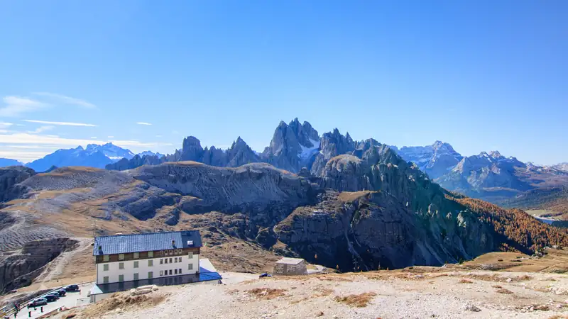
First, get to Rifugio Auronzo. The drive from the lake to the car park is about 7.4 km, on a toll road that starts near Lago d’Antorno. In 2026 a car paid €40 and had to book a slot online in advance. The Dolomitibus shuttle from the Misurina Genzianella stop cost €10 for a day ticket. The Rifugio Auronzo guide covers booking and the buses. If you leave the car at the lake and take the shuttle, the Lake Misurina parking guide explains where to park.
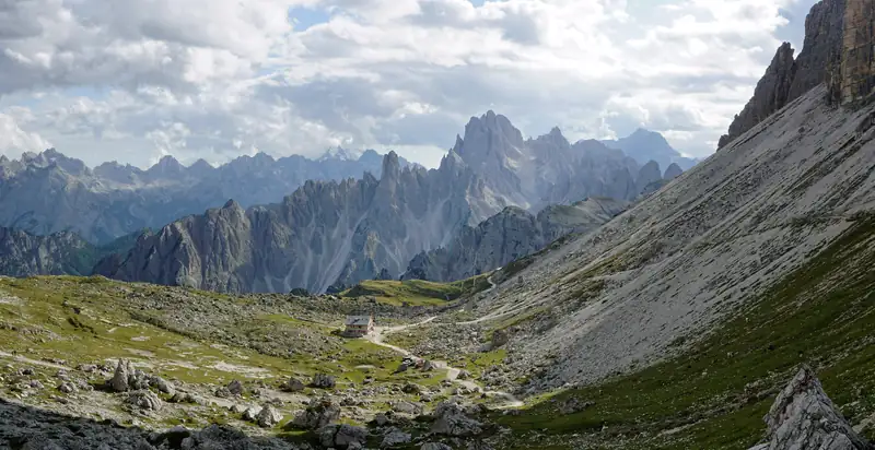
Then walk trail 101. It runs east under the south faces to Rifugio Lavaredo, climbs to the saddle at Forcella Lavaredo (2,454 m), then drops about 50 m to the hut. Times published for this walk range from 1 hour 20 to 1 hour 45, so plan on about 1.5 hours each way.
Checked October 2026:
| Route |
Time one way |
Climb or cost |
| Misurina to Rifugio Auronzo, toll road |
About 20 min by car |
€40 per car, booked online (2026) |
| Misurina to Rifugio Auronzo, Dolomitibus shuttle |
About 20 to 30 min |
€10 day ticket (2026) |
| Rifugio Auronzo to Locatelli, trail 101 |
About 1.5 h |
Roughly 120 to 135 m up to the saddle, about 50 m down |
| Rifugio Auronzo to Locatelli via Forcella Col di Mezzo, trail 105 |
About 2 h |
Alta Via 4 |
| Landro (Vista Tre Cime) to Locatelli, trail 102 |
About 3 h 30 |
7.8 km, 973 m up, rated difficult |
| Val Fiscalina (Sexten) to Locatelli, trail 102 |
About 4 h |
Long climb, no toll |
The climb figures for trail 101 come from the altitudes of the start, saddle and hut, not from an official route sheet.
If you have no car slot and do not want to queue for the shuttle in July or August, a guided Tre Cime loop that meets at Misurina includes the toll road in its price.
The north faces, the lakes and the chapel
The two small Laghi dei Piani lie just east of the hut, a short stroll from the terrace. A small chapel stands nearby with a statue of the Virgin of Loreto, patron saint of airmen, inside. Antonio Locatelli, after whom the hut is named, was an aviator.
Monte Paterno (Paternkofel, 2,744 m) and the smaller Sasso di Sesto (Sextenstein, 2,539 m) rise right behind the hut.
The First World War tunnels
Until 1918 the border between Austria-Hungary and Italy ran over Monte Paterno, and both mountains above the hut were front line.
Italian troops dug a tunnel more than 750 m long through Monte Paterno between August 1916 and September 1917. It linked the mountain’s south-east flank with the Forcella di Toblin, so the Italian posts on the Sasso di Sesto could be supplied all year. A few weeks after it was finished, the Italians pulled back from the Dolomites front and blew up the entrance.
Today part of that tunnel is on the descent of the Innerkofler-De Luca via ferrata (a climbing route with fixed cables and ladders), graded B/C. It is long and pitch dark. You need a helmet, ferrata kit and a headlamp, and it is not a walk for hikers in trainers.
Italian troops occupied the Sasso di Sesto in August 1915 and dug caves into it. On 21 April 1917 Austro-Hungarian soldiers attacked through a tunnel dug in the snow, briefly took the position and were driven back. Surveys in 2021 documented caves in the lower and upper parts of the mountain. Which of them are safe to enter today is not documented, so treat them with care.
For more on the fighting near Misurina, see the Monte Piana open-air museum.
Sleeping, booking and paying
The hut has 40 beds plus a dormitory for about 100. Overnight bookings are online only, through the hut’s website: requests open in mid to late February, replies can take up to three weeks, and Saturdays are half board only. Payment is cash or bank cheque only. Camping is banned throughout the nature park.
The 2025 season ran from 28 June to 28 September. The hut had not posted 2026 dates by October 2026, so check its site before planning around a specific week. In January 2026 the province, CAI Padova and partners announced a €3.96 million project to run a sewer, power line and fibre cable to the hut. No start date or closure had been announced.
On peak summer days up to 2,000 people pass through, most of them day walkers from Rifugio Auronzo. If you want the trail before the crowds, a night at Misurina puts you a few minutes from the start of the toll road; see where to stay at Lake Misurina.
A short history
The first hut opened on 25 August 1883, built by the Hochpustertal section of the German and Austrian Alpine Club. Sepp Innerkofler took it over in 1898 and enlarged it. Italian shells destroyed it in 1915.
Innerkofler died on 4 July 1915 during an attack on the summit of Monte Paterno. How he was killed is disputed: one account says an Italian Alpino threw a stone, another blames his own side’s artillery.
In 1923 the Italian state expropriated the hut and gave it to CAI Padova. The present hut was rebuilt in the mid-1930s and opened in 1937, named after Antonio Locatelli, who was killed in Ethiopia in 1936.